New England National Scenic Trail (Metacomet-Monandock Trail)

Distance: 5.26 miles
Durration: 2 hours 47 minutes
Elevation Min: 560ft
Elevation Max: 1,202ft
Total Elevation Gain: 722ft
Maps: Massachusetts DCR: Mt. Tom State Reservation http://www.mass.gov/eea/docs/dcr/parks/trails/mtom.pdf
Parking: 42°16'0.22"N, 72°38'20.47"W near the lookout tower, but there's parking all along the reservation road.
I woke up after a late night with friends not in the best conditions this past Sunday, but when I saw the weather I grabbed one of my suitemates and went out to one of the most consistently gorgeous hikes in the Pioneer Valley: Mt. Tom! This hike starts at the very end of the road that goes through the reservation at the loop around the lookout tower. We followed the large path that goes South of the parking loop, followed that to Christopher Clark Rd. (which I believe is now open to traffic: the past two times I've been here it's been closed) and made a left before making a right where a sign points towards the M-M Trail and the Quarry Trail. Hop on the Quarry Trail very briefly before the M-M Trail breaks off into a steep ascent.

From Christopher Clark Road this sign is very hard to miss.

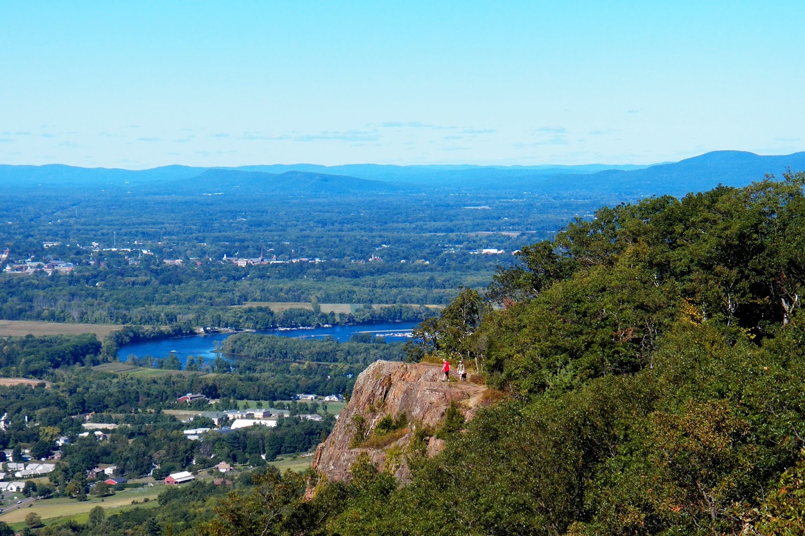
The M-M Trail is very steep like this for the first half mile or so of the hike. It's a doozy but you're instantly rewarded with breathtaking views of the Connecticut River and the Pioneer Valley afterwards.

The trail was very well blazed with white markings, but this was the only "official" marker for the New England Trail (formerly the Metacomet-Monandock Trail).
After the initial ascent, the hike is pretty easy with some ups and downs along the way. There are some difficult rock scrambles and spots that require some squeezing, but there are gorgeous views almost the entire time so it makes it all worth it. We followed this trail for a little over two miles until we reached the official summit of Mt. Tom, which is more industrialized than most nature lovers would enjoy, but I still appreciate it's character.


Some of the first views on the trail.


Two of the steep rocky sections of the trail.

A gorgeous vista of the pioneer valley with prominence of the Oxbow.

A clever trail marker for the M-M Trail.


One of the coolest features of this hike are the cliffs along the vistas.


Some more trail shots. This hike is all along the cliffs so there's rarely a moment without something to look at- or in my case to take pictures of!

More or less the halfway point to the summit!

After that Mt. Tom becomes visible- notable for the radio antennas.

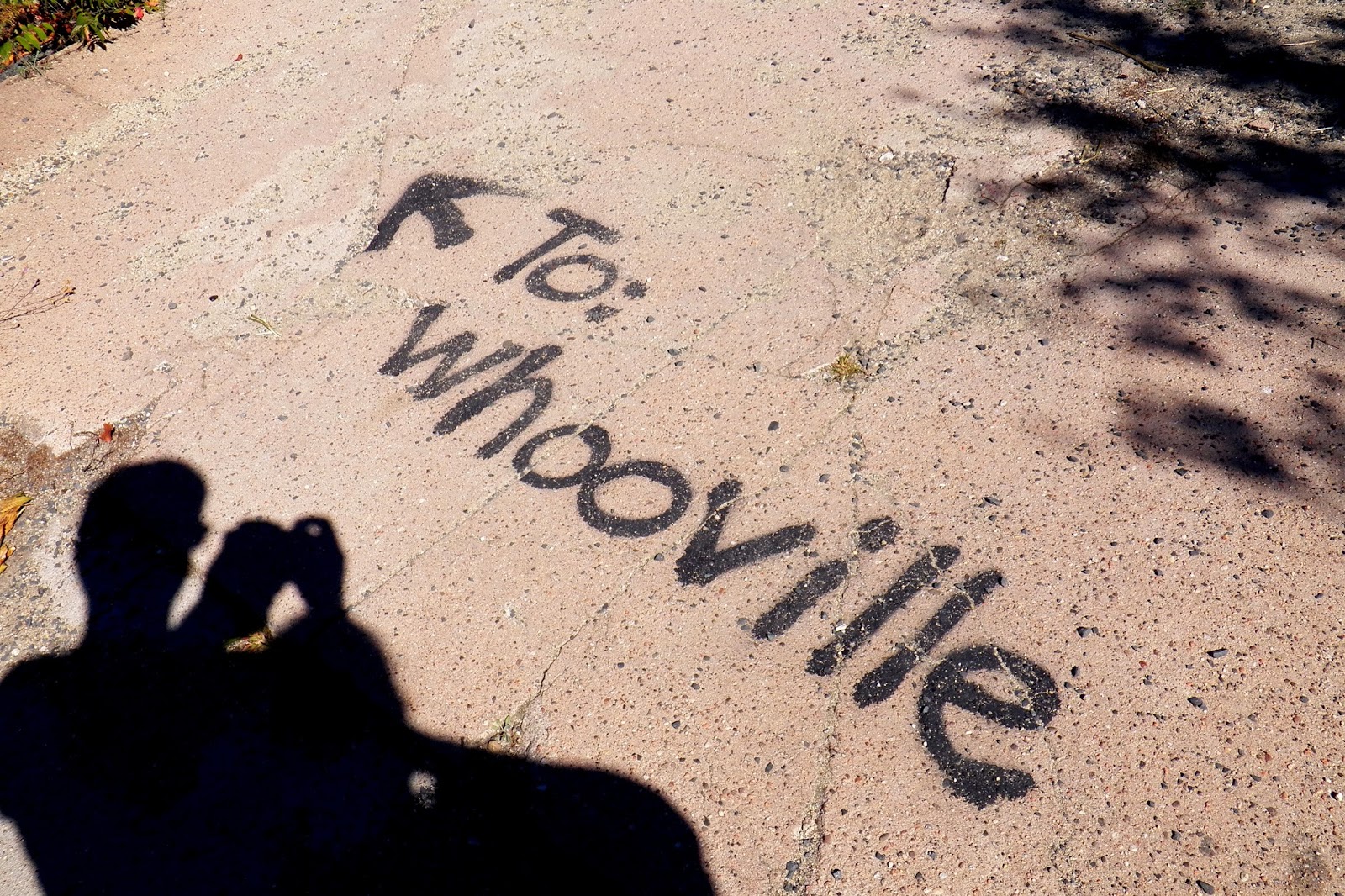
I really liked this doodle on one of the trail markers. I have no idea what it means and odds are I don't want to.

Some of the really cool rock feature on this hike.


Like I said, the actual summit is pretty industrialized. A few radio stations broadcast off of here and it's the former site of a hotel (I believe), but I still find it scenic in it's own character. I have yet to figure out what the story is behind the giant star.


Our hike back was much faster than the hike up, mostly because we weren't stopping every seventeen steps to take a new photo. The last photo here is from the first overlook- we skipped this on the way up because some people were having lunch there and we didn't want to disrupt them.
We were exhausted at the end of the hike but it was well worth it. This hike is beyond breathtaking, even the second time.
No comments:
Post a Comment