Blue trail, red trail, and white trail.

Duration: 1 hour, 50 minutes
Blue Trail Elevation: 860ft (min), 920ft (max), 60ft gain
Red Trail Elevation: 875ft (min), 1012ft (max), 137ft gain
White Trail Elevation: 850ft (min), 1045ft (max), 195ft gain
Total Gain: 392ft*
*I'm currently on a data purge on my phone so my hiking tracking app was off, so these are all based off the map. There was more gain in reality (so many ups and downs on the white trail), and the distances may be slightly off. At the white trailhead it said the white trail was 3 miles, and just eyeballing the blue and red trails both look 0.5 miles long. That would make 4.5 miles, plus some side trails I accidentally took and the walk back to the car brought me to 5.
Maps: The park itself is in the New York-New Jersey Trail Conference Map #125, but the trails aren't in the edition I have (2011 Edition). There's a great map at http://www.morrisparks.net/maps/pdfs/SilasCondict.pdf with details including landmarks and contours which is super helpful and clear.
Parking: 41° 0'22.49"N, 74°23'6.22"W
Weather: Mostly sunny, 84°F, 47% humidity.
It was a gorgeous, but toasty July afternoon. I found myself sitting on my couch watching Friends on Netflix and decided I needed to get out. I don't like to go too far for solo hikes so I decided to finally hike at Silas Condict County Park in Kinnelon, somewhere I've only been for small picnics and what not. I was happy to see very updated trail maps online since the last time I'd attempted a hike there (two summers ago, everything was unmarked and we got lost very quickly and gave up and bought a loaf of bread). Since then they've reblazed the white trail and blazed the blue and red trails.
From the last parking lot, I first took the ~0.5 mile long blue trail as an out-and-back. The trail was great and easy. It was clearly blazed and graveled over so there were no questions about it. At the end there was a nice overlook looking north. The view was very nice with a bench right at the end of the trail, but Route 23 was very audible. There was a trail that continued at the end of the blazes that I followed for a little bit, but I didn't want to risk getting too deep in the unmarked woods when I still had 5 more miles planned.

The newly blazed blue trailhead.

Following the beautifully maintained trail.

A quick incline leading to...

The overlook! The photo doesn't do it justice but it really was nice (minus the sound from 23).

A trail was clearly continuing after the blue trail ended. There was a second overlook marked which I never found. I wonder if it was down there? There was another side trail on the way up. On the other hand the trails could have led to residential areas so who knows!
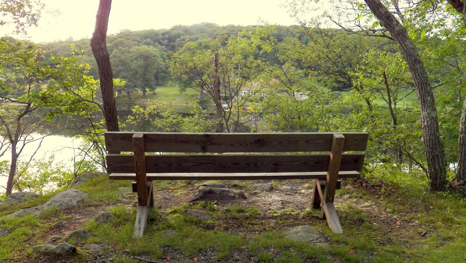
After turning around and cutting through a picnic area I hopped on the equally beautiful red trail. This easy trail had a slight incline, but nothing too strenuous and beautiful, open woods. There was a quick side trail to a seasonal overlook which I was no in the right season for. After that the trail descended to the outfield of a family softball game, so I found an unmarked trail that seemed to go in the same direction and followed that.


Some photos from the red trail. The seasonal overlook was just after this bench.
The unmarked trail followed the boundary of a park, marked by a fence that disappeared about 20 feet after a sigh saying that residents can obtain a key for the gate from the park office which gave me a good laugh! After some more hopeful hiking I found some old, washed out, unrecognizable blazes (that I later decided were part of the old white trail). I followed this until I found the white trail, and hopped on that until I ended up back at the softball field and realized that I got in the wrong direction. The old white and new white meet up in the middle of a switchback, which threw me off.

The very useful fence!

The old blazes of the old white trail.

After finding the white trail, going to the softball field and turning around, this was one of the few switchbacks that brought us up.

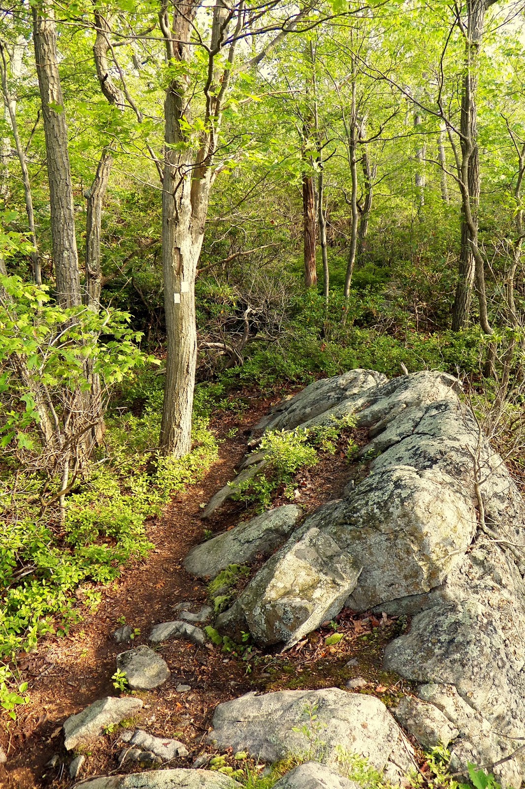
This trail started to get rocky, but still was very scenic.

The trail started to get overgrown, but thankfully I only found one tick on my shirt somehow.
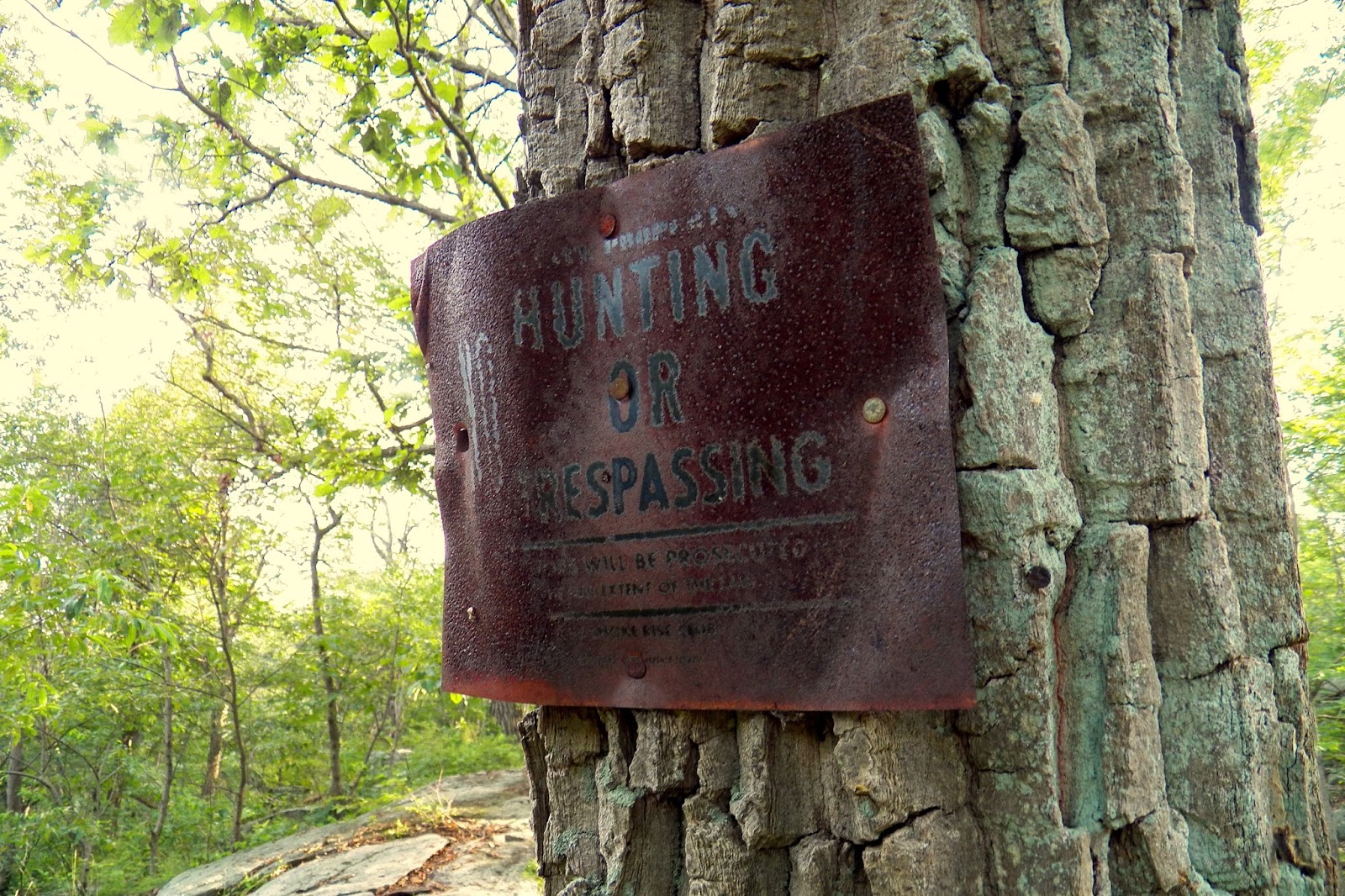
An old sign from who knows how long ago!

This nice bench right at the first overlook.

And a very nice view out east. This is one of the few parks in the area where NYC isn't in view miraculously!
After this view there was a bit of overgrown trail (like a 4/10) but then it became gorgeous! From there it was viewpoint after viewpoint. I have no idea which ones were the ones marked on the map, but they were all gorgeous. The trail was still tight in between overlooks, but it widened out after the last one and became very pleasant.


Some photos approaching the overlook.

An absolutely gorgeous view westward.

A little claustrophobic, but a gorgeously scenic stretch of trail.

Another great view!


Some more photos along the trail. This stretch was my favorite part of the hike!
From there the trail went back into the woods, and after a bit of peaceful walking there was a recycling bin! I'm not sure how often it gets cleaned out, but I guess it's better than people throwing their water bottles on the ground. After a bit more hiking we came up to the "cave tunnel," which was literally just that! A few rocks placed on each other just so perfectly that it made a cave, but also a tunnel! The trail went right through it which was very cool, and then there was a little more bit of rock scrambling before the trail calmed down again.

The strangely placed recycling bin. It was strange just because of how it was located in the middle of the trail length. It wasn't at either trail head, just placed in the middle.


Two photos of the cave tunnel! It was super cool. Similar to tripod rock at Pyramid Mountain in a way, but personally I think this is so much cooler.

Rocky bits of trail after the cave tunnel.
From there the trail had a few ups and downs, but mostly featureless. Towards the end of the hike there were two footbridges over a creek and Trout Brook which were fun, and then I saw the first person on the hike which scared the life out of me! Soon after I was more than relieved for the trail to meet at a T intersection with a gravel road, and the trail continued left and then quickly moved off again. Some wiggling around with very partial views of Canty's Lake and soon enough I was back at the parking lot, sweaty, exhausted, and sweaty. From there I just followed the road back to my glorious car, Kevin.


More photos along the trail.


The footbridge along Trout Brook.

The trail was nice and covered, but it did let a nice amount of sunlight in which was very scenic.

The intersection with the gravel road!

A quick view from the white trail.

After this picnic table the trail broke off of the gravel road and onto its own path.

Partial view of Canty's Lake.
A perfectly placed bench right before the last dip to the parking lot.

The trail head from the end!

This read, "The new 3 mile long white blazed trail begins here... The trail is rated "moderate," however caution is advised for hikers using the trail as there are several steep rocky areas to traverse. It is recommended that proper footwear be worn and water carried. Time is approximately 1.5 hours."

Now follow the parking lot...

...past Canty's Lake...

...and back to the car!
Overall I really liked this hike. The views made up for the overgrowth at the beginning of the white trail, and there were very few other people on the trails. I went on an afternoon on a Sunday in July, so the area by the old casino was very crowded. Great way to spend a Sunday afternoon!
Hike Summary:
- Blue trail out-and-back.
- Red trail end to end.
- White trail end to end.
- Follow road to car.
Photography update: I tried a new white balance and this one made the photos less aggressively warm which I liked, but I still have troubles getting good photos when it's overcast/cloudy.
No comments:
Post a Comment